L.A. Walks: La Tuna Canyon
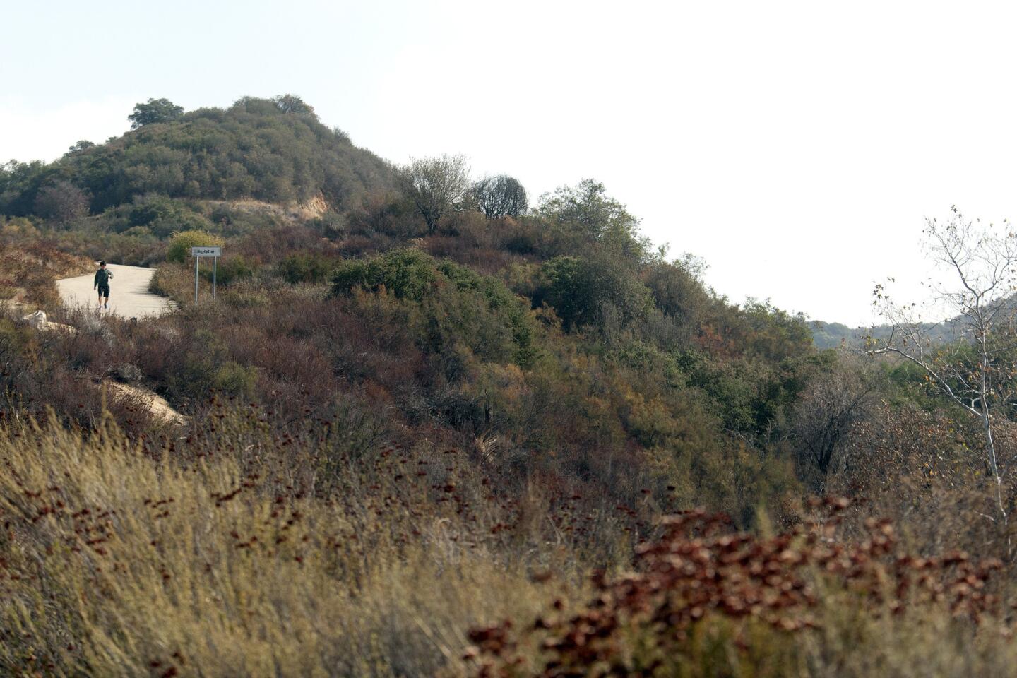
Hiker Sung Kim comes down on an easier pathway after hiking at La Tuna Canyon. (Cheryl A. Guerrero/ Los Angeles Times)
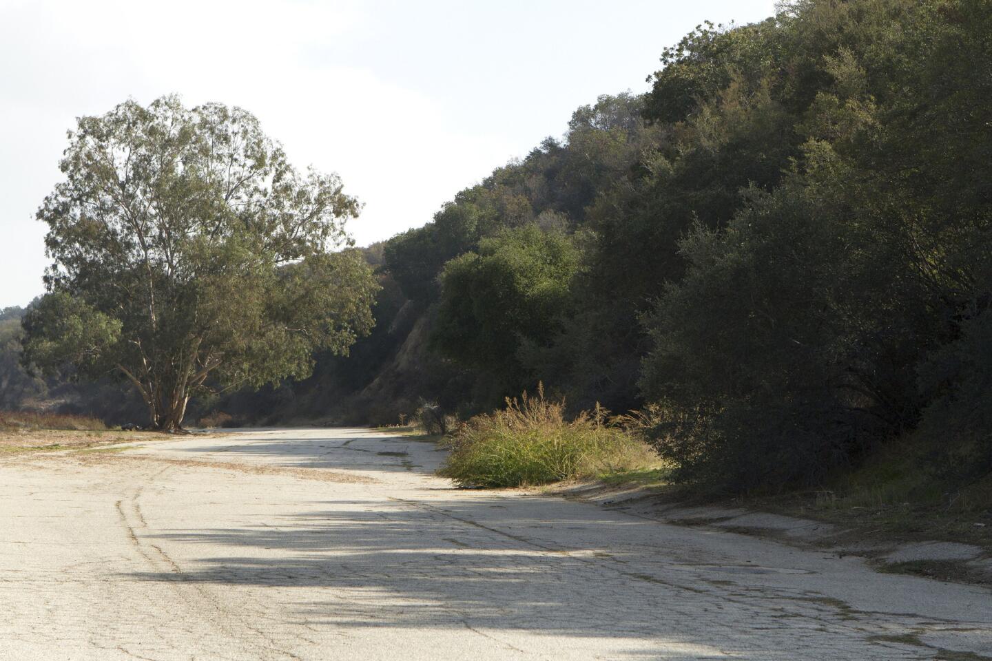
Begin your hike on South La Tuna Canyon Road, a paved road just south of the 210 Freeway off La Tuna Canyon Road in Sunland. (Cheryl A. Guerrero/ Los Angeles Times)
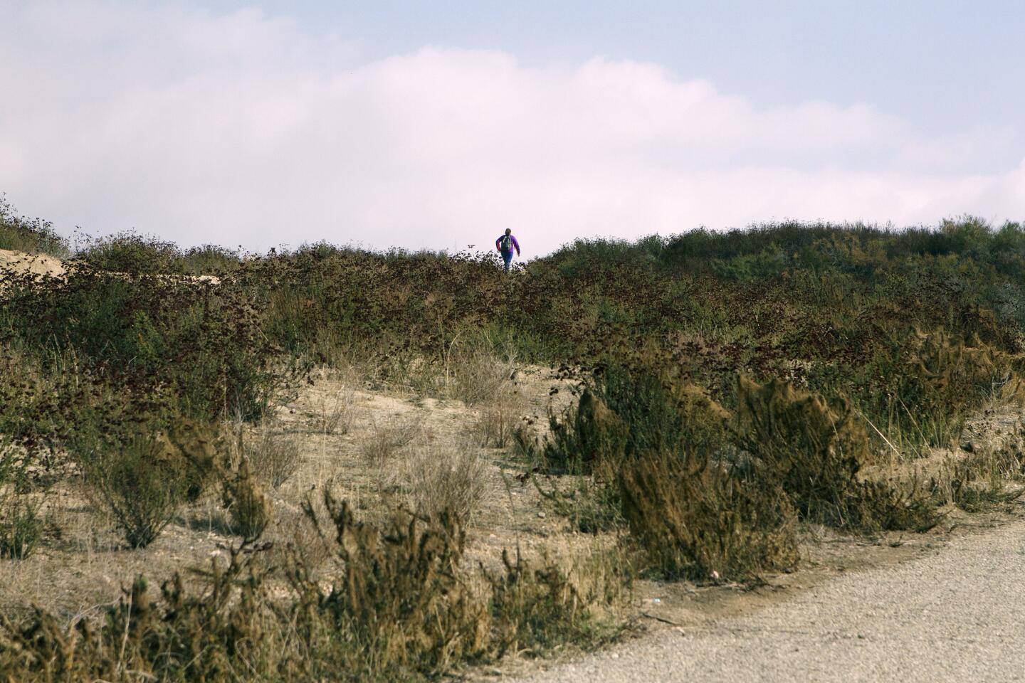
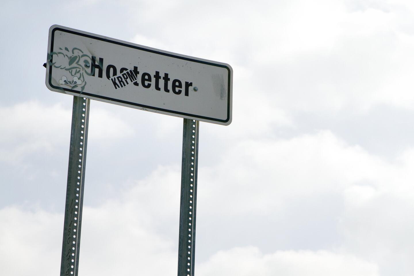
After about a third of a mile on South La Tuna Canyon Road, turn right and walk up a pathway toward the sign for Hofstetter Fire Road. (Cheryl A. Guerrero/ Los Angeles Times)
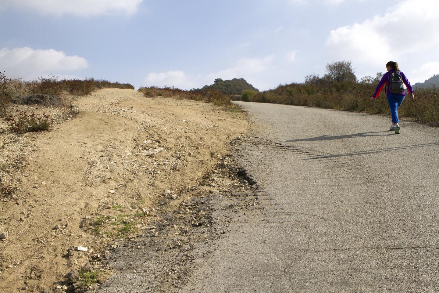
After about a half mile, if you want a steadier incline, keep on the fire road to the right. If you want something shorter and more challenging, take the dirt path to your left and climb up a 0.6-mile hike up a slippery and rocky slope. (Cheryl A. Guerrero/ Los Angeles Times)
Advertisement
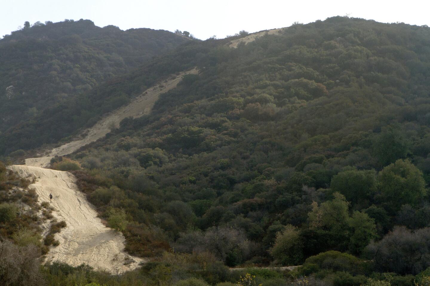
A hiker takes the steeper route up La Tuna Canyon. (Cheryl A. Guerrero/ Los Angeles Times)
Hofstetter Fire Road skirts the edges of the hillsides. (Cheryl A. Guerrero/ Los Angeles Times)
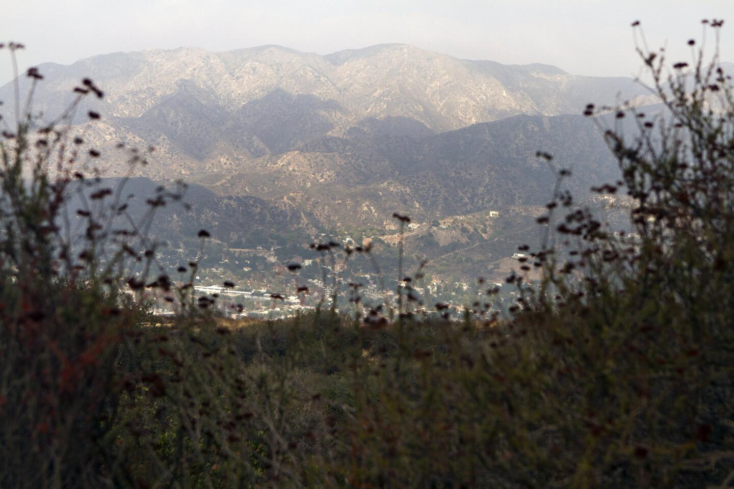
After about a 2-mile hike on the gentler path, you will see a water tank at a T-section. Turn left, where you will see the San Gabriel Mountains with Mt. Lukens and Mt. Wilson to the right. In the foreground, you will see Tujunga, La Crescenta, Montrose, Glendale and La Canada. (Cheryl A. Guerrero/ Los Angeles Times)
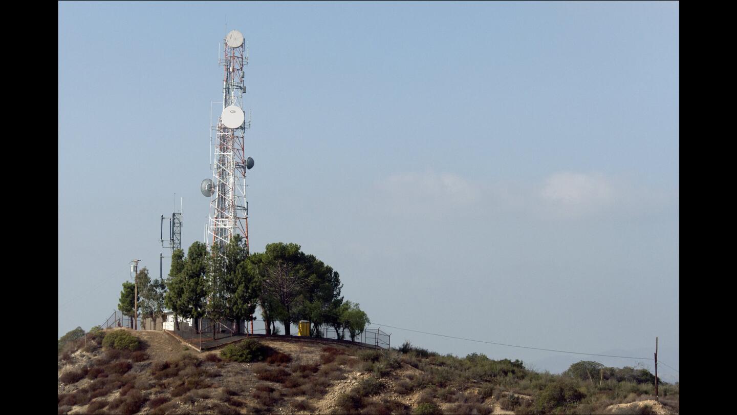
After passing the view, hike up for 20 more minutes or so. Once you arrive at a tall radio station tower, you can see views of the ocean, Glendale and downtown Los Angeles on a clear day. (Cheryl A. Guerrero / Los Angeles Times)
Advertisement
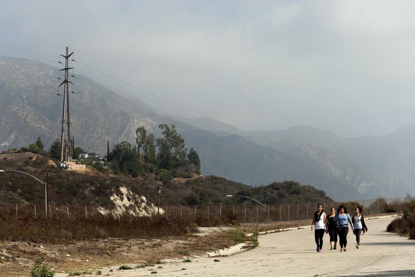
Angela Lopez, from left, and her sisters Maria, Marlene and Anna approach the end of their hike on a paved road. (Cheryl A. Guerrero/ Los Angeles Times)
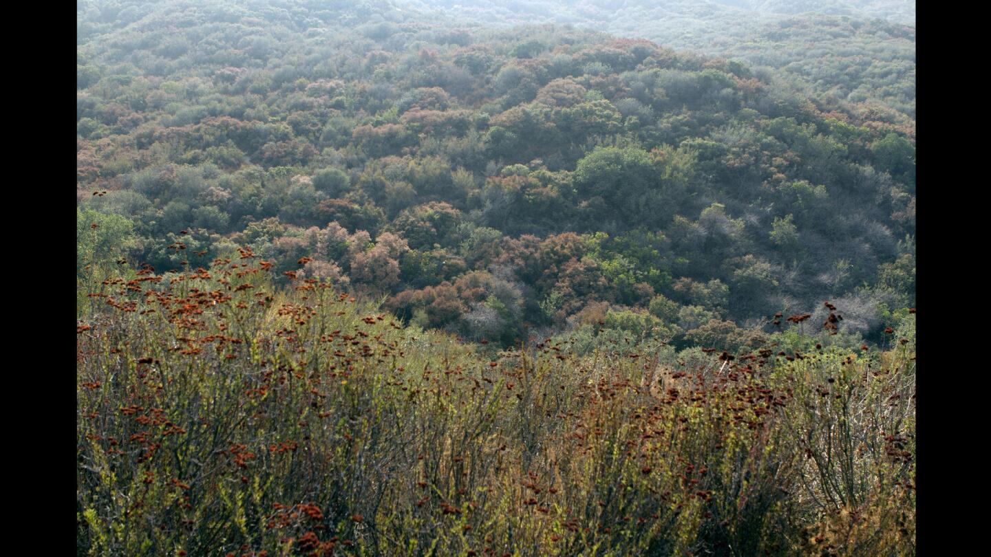
The view in the Verdugo Mountains of La Tuna Canyon. (Cheryl A. Guerrero / Los Angeles Times)
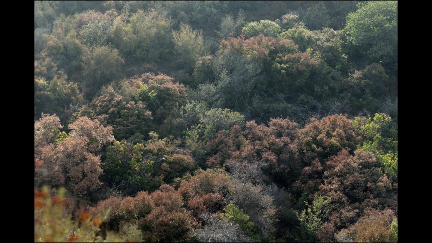
Oaks and native plants create a mosaic of subtle color changes in La Tuna Canyon. (Cheryl A. Guerrero / Los Angeles Times)
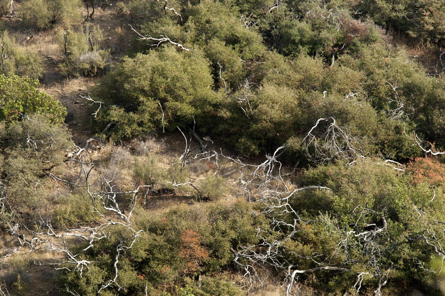
Paths in La Tuna Canyon cross from shade to sun. (Cheryl A. Guerrero/ Los Angeles Times)
